![]()
The Grand Est region covers 57,441 km², from Strasbourg in the east to Nogent-sur-Seine in the west. The region includes 10 departments : Ardennes, Aube, Bas-Rhin, Haute-Marne, Haut-Rhin, Marne, Meurthe-et-Moselle, Meuse, Moselle, Vosges. It has 5,000 residents or 8.4% of the French population.
The Region has many missions and competences: commitment and citizenship, innovation, higher education and research, high schools, environment, regional planning, tourism, culture, sport, professional training, international and cross-border relations, youth, economic development, transport and travel, agriculture, viticulture and forestry.
In particular, the Region has voluntarily acquired competence in the field of water. It undertakes to fully ensure the missions of animation and consultation in the field of water and aquatic environments. In this same field, it also provides general assistance for projects to restore rivers and prevent flooding.
Website: https://www.grandest.fr/
TERRITORY
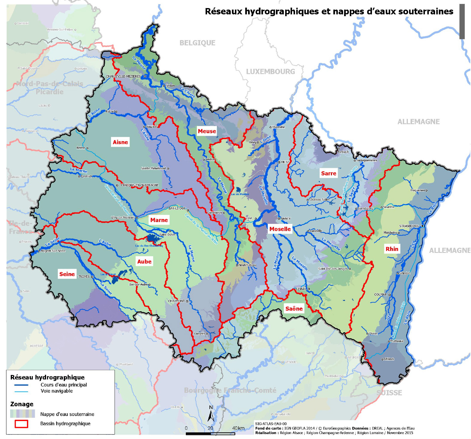
- Surface area: 57 441 km²
- River basin district: Rhin-Meuse, Seine-Normandie, Rhône-Méditerranée-Corse
- Number of SAGE supported: 3
- SAGE involved in the LIFE Eau&Climat project: SAGE Bassin Ferrifère
- Other management tools concerned by the project:
- SCoT (Schéma de Cohérence Territoriale – French urban planning document which determines a territorial project aimed at bringing together all sectoral policies)
- SAGE
- Regional natural park of Grand Est
- The territory’s issues concerning the climate change: mobilisation of mining reservoirs for supply during low water periods, protecting mining reservoirs from surface pollution and restore the functionality of aquatic environments following the end of mine drainage.
CONTRIBUTION AT THE LIFE EAU&CLIMAT PROJECT
Grand Est Region is particularly involved in the following actions:
- Development and validation of decision support tools -> expectations and recommendations for tools
- Facilitating access to hydro-climatic data -> specification of needs in terms of data and indicators, identification of the data that can be monitored in the context of a citizens' observatory with the development of a data collection procedure and the setting up of a internet portal dedicated to it, construction of synthetic indicators allowing the members of the CLE (Commission Locale de l’Eau - local water commission responsible for drawing up, revising and monitoring the application of the SAGE) to take ownership of the climate change issues in its territory and to define an adequate action programme.